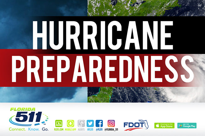
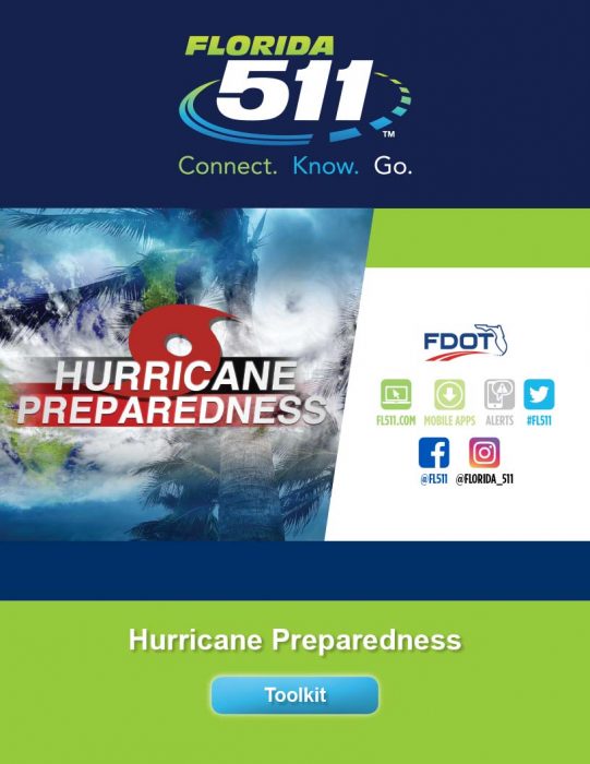
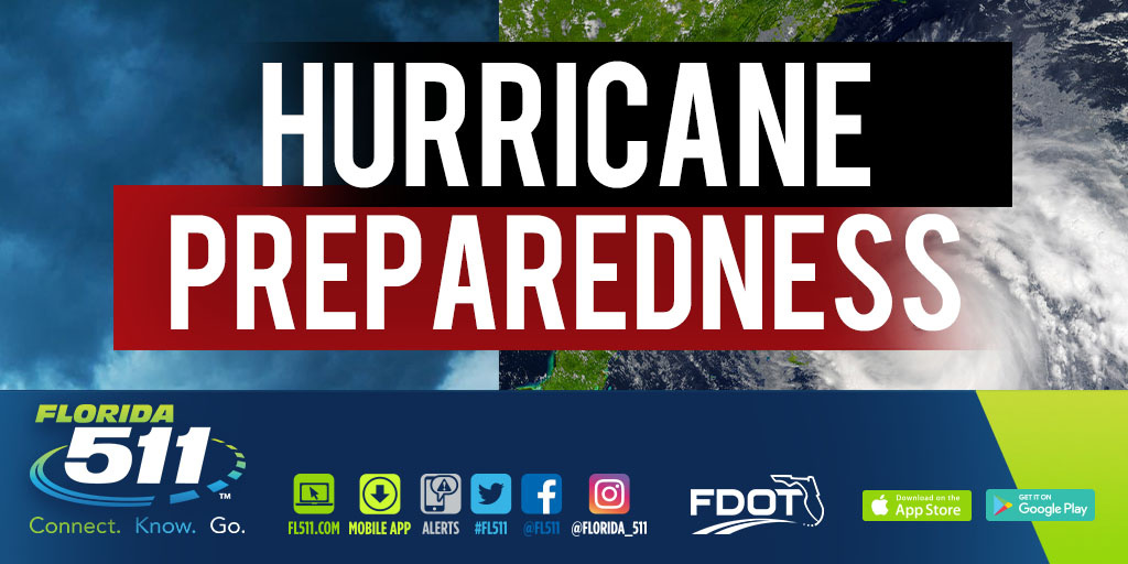
 Hurricane Preparedness Tool Kit
July 2020
To friends and followers of FL511:
The Florida Department of Transportation’s (FDOT) Florida 511 (FL511) Advanced Traveler Information System (ATIS) is writing to inform you about the state’s official source for traffic and travel information for Floridians and visitors this hurricane season.
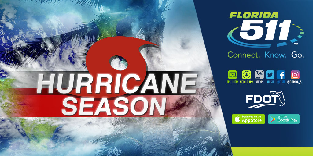
As you know, the 2020 Atlantic hurricane season officially started on June 1, and FL511 encourages all residents and visitors to prepare for severe weather emergencies. All Floridians and visitors are encouraged to have a plan in place to prepare for a storm before and after a storm.
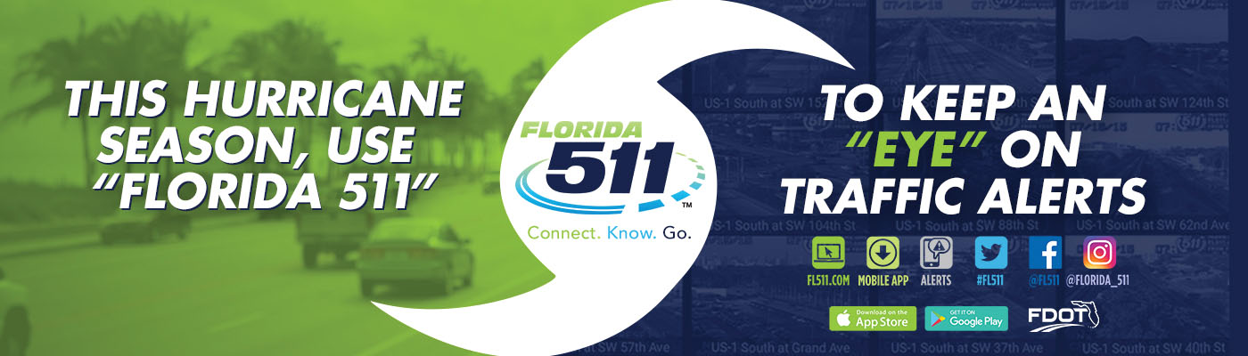
During severe weather and other emergencies, Florida 511 is one of the most effective ways drivers can stay informed about roadway conditions during severe weather, evacuations and emergencies.
Please visit fl511.com/emergencyinfo for more information.
The Florida Department of Transportation encourages residents to include the Florida 511 (FL511) Advanced Traveler Information System (ATIS) in their hurricane preparation kit. This is Florida’s official source for real-time traffic information, 24 hours a day, seven days a week. This public information service is accessible by mobile app, a website in English and Spanish, Twitter messages, Facebook, Instagram, text alerts and more. FL511 can help residents who may have to evacuate to plan their motor travel routes before and after a storm. Residents who stay at home can use FL511 to plan their route on Florida’s roads after a storm.
Attached is a toolkit with a variety of information products for the media: a news release, public service announcements, images and other materials.
We respectfully ask that you publish or post information that is appropriate for your audience and media outlet about the FL511 system. Our goal is safety on Florida’s roads, and FL511 is one more tool in the toolkit to make this happen.
Sincerely,
Florida Department of Transportation
FL511 Hurricane Season Preparation Tips, Useful Links, and How to Stay Safe
Safety Info:
The safest place often to be is in your home, unless required to evacuate.
Who may need to evacuate? Those living in flood zones, mobile homes, some manufactured homes, and other designated structures and areas. Follow the orders of your local government.
Properly maintain your car before hurricane season. Check the battery, tires, fluids and windshield wipers. Keep a full tank of gas. Include FL511 in your travel plans.
Helpful Websites:
Hurricane checklist: www.floridadisaster.org/planprepare/hurricane-supply-checklist/
Have a place to go: www.floridadisaster.org/planprepare/have-a-place-to-go/
Know your flood zone: www.floridadisaster.org/knowyourzone/
Additional Resources:
1. County Emergency Management Agencies
-
- https://floridadisaster.org/counties/
- Official source of local information and resources.
2. Alert Florida
-
- https://apps.floridadisaster.org/alertflorida/
- Sign-up to receive community-based emergency alerts and other public safety notifications.
3. National Weather Service
-
- https://www.weather.gov/
- https://www.weather.gov/safety/hurricane-plan
- Local weather forecasts and alerts; preparedness tips.
4. National Hurricane Center
-
- https://www.hurricanes.gov/
- Tropical forecasts and alerts.
Suggested Social Media Content:
Suggested Social Media Creative Assets

Q&A: FL511 and the Florida 511 Mobile App
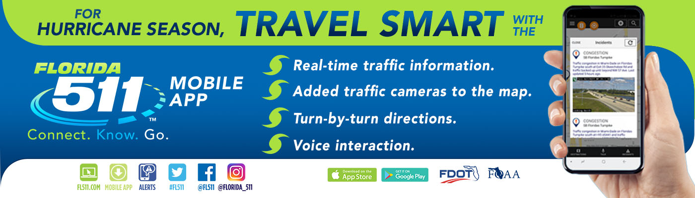
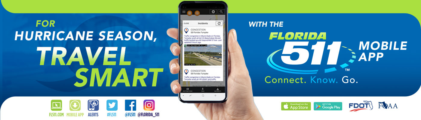
FL511 is the abbreviated name for the Florida 511 (FL511) Advanced Traveler Information System (ATIS), which is the state’s official source for real-time traffic and travel information. It is a service of the Florida Department of Transportation (FDOT). The system provides directions to any destination with travel times and alternate routes on most roadways throughout the state. Users can also get information on crashes, congestion, construction zones and closures on Florida’s interstates, toll roads, and other major roadways. The system includes a website, mobile app, text alerts, social media pages, and much more.
The mobile app has been available for both Apple and Android devices since 2012. It was upgraded in 2018 and early 2019 to keep up with technological advances and to make it even more user-friendly.
It has a completely redesigned user interface.
- Voice Interaction feature
- The ability to view events within a specific radius
- The ability to view camera snapshots for specific roads
- The ability to create and save destinations
- The ability to display road closures and detour maps, and
- A truck parking availability feature
It is now called the Florida 511 Mobile App – Connect.Know.Go.
It is available at the Apple App Store and Google Play.
You don’t have to do anything if your apps are automatically updated. If not, you will need to download the updated app.
New users just download the app to their smartphone from the Apple App Store or Google Play. There is a wealth of information on the app, so it takes some time to explore and become familiar with the many features.
FL511 and its mobile app is a free service provided by the FDOT to increase safety and reduce driving time on Florida’s roads. There may be a cost for the mobile data used on your smartphone that is charged by your data provider.
The Florida 511 (FL511) Advanced Traveler Information System (ATIS) also includes a website (FL511.com) in English and Spanish, text alerts and messages, 13 Twitter feeds, and Facebook and Instagram pages.
It is the only traveler information system just for Florida’s roads. The data and information are trustworthy as it comes from government sources. The system has accurate local traffic information. It has real-time traffic camera views on major roadways throughout Florida.
- Drive mode
- Voice Interaction feature
- Multiple routes provided for each destination
- Real-time traffic information including crashes, congestion, construction zones and road closures
- Turn-by-turn directions
- Travel times
- Traffic monitoring cameras
- Optional truck parking alerts
Visit FL511.com or download the Florida 511 Mobile App –Connect.Know.Go. at the Apple App Store or Google Play.
Travel smart with FL511 and connect, know, and go!
Florida 511 Mobile App Overview
The Florida 511 Mobile App is a component of the Florida 511 (FL511) Advanced Traveler Information System (ATIS), which provides real-time traffic information and travel conditions on Florida’s roads. The FL511 system is the state’s official source for traffic and travel information.
An invaluable app, FL511 provides information on congestion events, crashes, construction zones and road maintenance activities. FL511 also provides travel times on all interstates, toll roads and alternative routes, so drivers can make better choices about their travel plans. The information is accessible by the mobile app, a website (FL511.com) in English and Spanish, Twitter messages, Facebook, Instagram, text alerts and more.
Features of the Florida 511 Mobile App and some of the latest improvements include:
- A completely redesigned user interface
- Ability to display road closures and detour routes on the map
- Ability to receive road weather alerts
- Access to weather radar overlay information
- Receive up-to-date information about congestion, crashes, construction zones, road closures and more
- Benefit from voice interaction feature functionality – users can speak a request for a city, county, or roadway to view relevant events and information
- Ability to view events within a specific radius
- Ability to view camera snapshots for specific events
- Ability to create and save destinations
- A truck parking availability feature
- Ability to travel smart with the Florida 511 Mobile App to Connect, Know, and Go!
Before leaving for their destination, motorists can check the interactive road map on FL511.com for up-to-date information about congestion, crashes, construction zones, road closures and more.
For more information, visit the website at www.FL511.com or download the mobile app. Travelers can also follow FL511 on 13 Twitter handles, on Facebook @FL511, and Instagram @Florida_511. Travel smart with the Florida 511 Mobile App to Connect, Know, and Go!
Strategic Communications Links
Here are some helpful links from the FL511 website for the media:
-
- FL511 website: https://www.fl511.com
FL511 media resources on this website:
-
- Ads: https://news.fl511.com/media/ads
- Fact Sheets: https://news.fl511.com/faq
- Images: https://news.fl511.com/media/images
- News Releases: https://news.fl511.com/news
- Newsroom: https://www.fl511newsroom.com
- Toolkits: https://news.fl511.com/partners-toolkits
- Videos: https://news.fl511.com/media/videos
Images